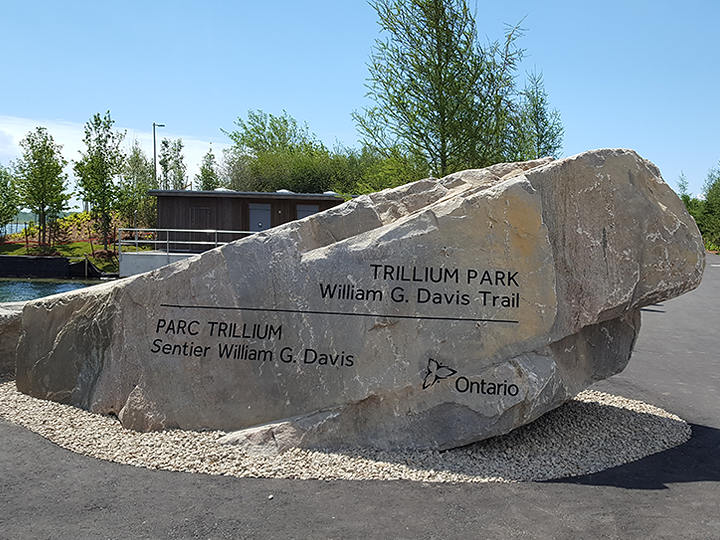
Ontario Place – Trillium Park and William G. Davis Trail
- Location:
- Toronto
- Project Type:
- Real Estate (Direct Delivery)
- Infrastructure Type:
- Tourism, Culture and Sport
About the Project
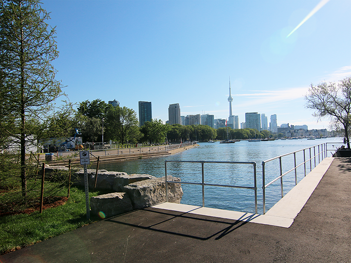
For the first time in more than 40 years, Ontario residents and visitors can enjoy a spectacular part of Toronto's waterfront at Ontario Place. The Trillium Park and William G. Davis Trail officially opened to the public on June 19, 2017. The opening is the first milestone in the province's plan to transform the iconic landmark into a vibrant, year-round destination for people of all ages.
Infrastructure Ontario is working on behalf of the Ministry of Tourism, Culture and Sport and the Ministry of Infrastructure to move forward with the development of the urban park and waterfront trail at Ontario Place. This project is the first step of revitalization and delivers on an important part of the new vision for Ontario Place-to create a public park and easy public access to the waterfront.
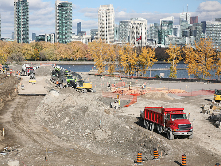
The project transformed a portion of the Ontario Place site used for parking into an urban park and waterfront trail. Converting this land into green space provides access to part of Toronto's waterfront that has been closed to the public for more than 40 years and will create new linkages to an expansive, 780-kilometre waterfront trail system that includes parts of the Trans Canada Trail Ontario route as well as the Martin Goodman Trail.
Status:
-
Request for QualificationsFeb 26, 2014
-
Short-list Bidders SelectedApr 08, 2014
-
Request for ProposalsSep 03, 2014
-
Winning Bidder SelectedFeb 24, 2015
-
Construction BeginsFeb 24, 2015
-
Construction EndsJun 29, 2017
Latest News
Project Status:
- Construction Ends: Summer 2017
- Construction Begins: February 24, 2015
- Successful Contractor Selected: February 24, 2015
- Request for Proposals: September 3, 2014
- Shortlisted Contractors Selected: April 8, 2014
- Request for Qualifications: February 26, 2014
- Landscape Architect Selected: November 12, 2013
Features
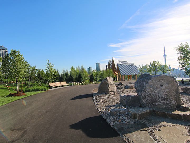
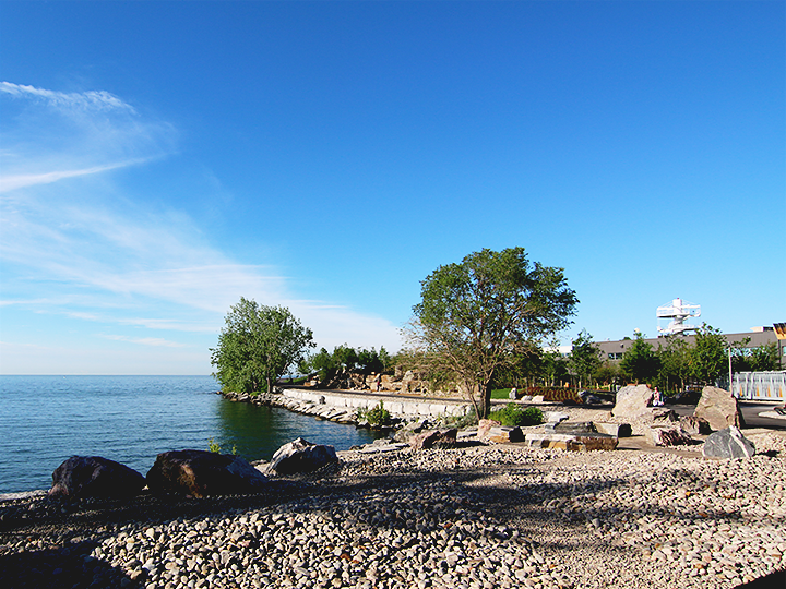
The park converted 7.5 acres of former parking lot into green space and a waterfront trail that connects to the existing 780-kilometre waterfront trail system.
The waterfront trail accommodates a range of uses, such as cycling, running, and walking.
The landscape of the park and trail enhances Toronto's vibrant waterfront experience.
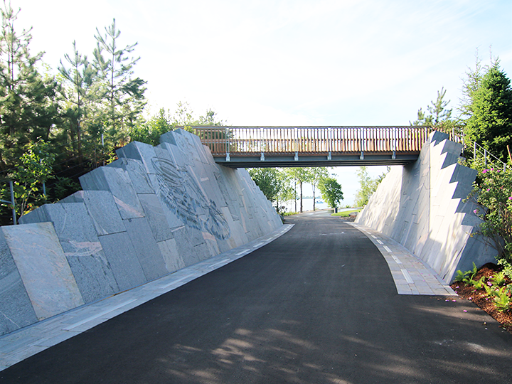
The Ravine with Moccasin Identifier: Developed in collaboration with the Mississaugas of the New Credit First Nation, a moccasin etching in this gateway to the park provides a visual reminder to celebrate and honour the history and culture of Indigenous peoples.
The Bluff: Stacked boulders and rocks from a Muskoka quarry are located along the trail, symbolizing the prehistoric Lake Iroquois shoreline.
Community And Green Benefits
Consultations and feedback received since Ontario Place was closed indicate that public parks and easy public access to Toronto's waterfront are a priority for Ontarians. This project is a response to that public feedback.